Millions of years ago, tectonic forces sculpted the Tinajani Basin in the Andes, laying the foundation for present-day Lake Titicaca. Nestled within the Andean Altiplano, the basin formed through processes of uplift, folding, and faulting. Volcanic activity further shaped the basin, depositing ash and rock. Long before the Titicaca we know today, ancient lakes occupied this space, as revealed by the sedimentary record.
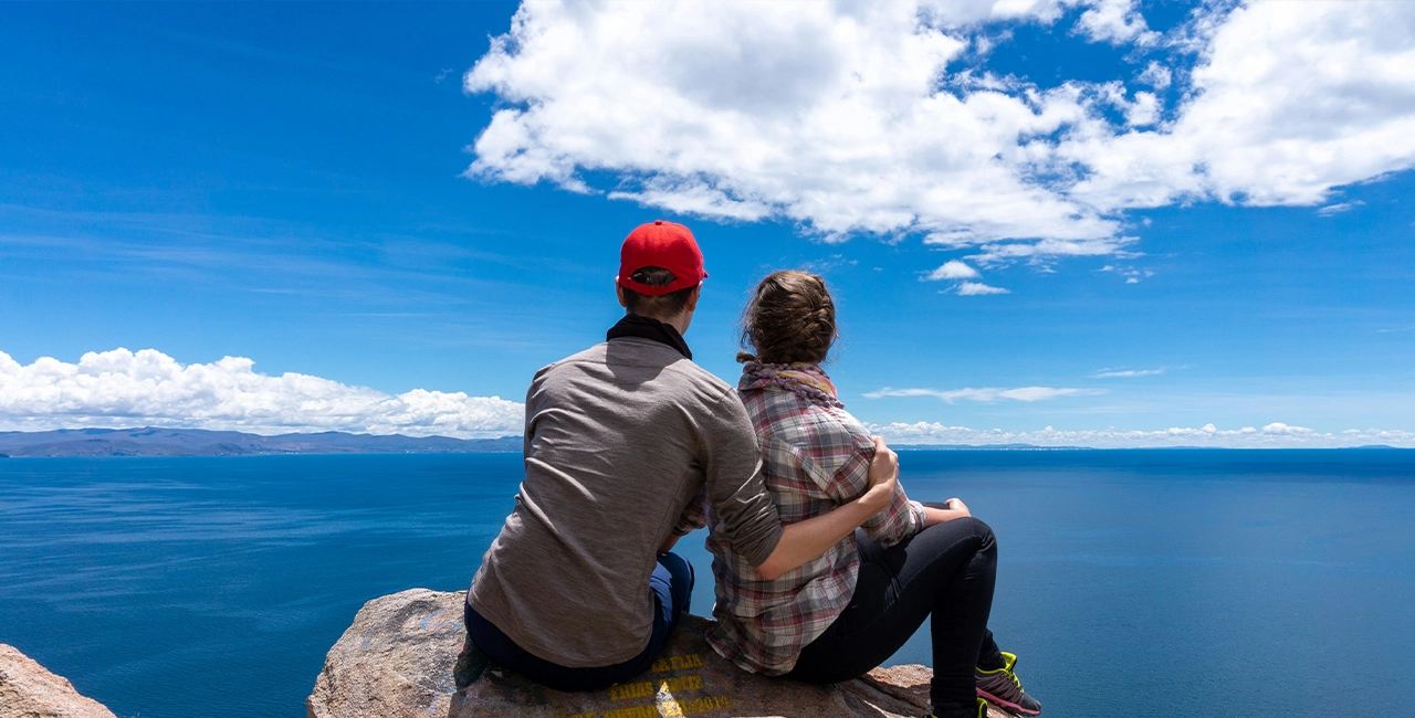
Finally, glacial cycles carved the surrounding valleys, left behind moraines, and altered drainage patterns, ultimately giving the lake its present form. At 3,812 meters (12,507 feet), this freshwater lake straddles the border of Bolivia and Peru and is often cited as the world’s highest commercially navigable lake. It is South America’s second-largest lake by both volume and surface area, spanning 8,372 square kilometers (3,232 square miles).
The name Titicaca likely derives from either the Aymara titiq’aq’a (meaning “gray, lead-colored puma,” which refers to a sacred rock on Isla del Sol) or thakhsi cala (the rock’s name). Locally, the lake goes by different names depending on which side of the shore you are standing on.
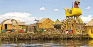
In Bolivia, the smaller southeastern section, connected to the main body by the Strait of Tiquina, is called Lago Huiñaymarca, also known as Wiñay Marka, meaning “Eternal City” in Aymara; the larger part is known as Lago Chucuito. In Peru, these same sections are called Lago Pequeño and Lago Grande, respectively.
Rupesh Kumar is an accomplished Journalist, Author, Graphic Designer, and Strategic Thinker. He has worked with scores of news and sports channels in India and is an expert in crafting engaging & informative content.


